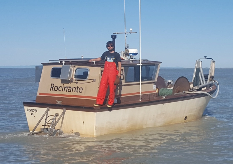
Pinnacle Geo was created in 2016 by Drew Lindow. I grew up in a commercial fishing family in Cordova, Alaska.
After working as a deck hand on various gillnet and seine boats in Prince William Sound and Bristol Bay
I began gillnetting on my own on the Copper River Delta. The lack of accurate NOAA nautical charts in
this area and the constantly shifting, shallow channels make the area difficult to navigate. I had
recently graduated from Western Washington University with a degree in Geographic Information Science
and had the idea to create a map using recent satellite imagery taken at low tide. After a few years of
using the maps myself and testing by a few close friends I decided to release the map for sale to the
public. The maps have now become the de facto standard for safe navigation on the Copper River
Delta.